
SME’s team of professional surveyors specialize in mapping and layout for the design of infrastructure projects including stream, dam, pavements, utilities, and site layout. Our surveyors work closely with civil engineers, scientists, biologists, geologists, architects and field technicians to provide project surveying support.
SME performs surveys including ALTA boundary, topographic mapping, laser scanning, platting, easements, and 3D surface models of buildings. During construction, our survey field team provides construction layout, record drawings and certifications for our clients.
Our surveying expertise includes:
- ALTA NSPS Land Title Surveys / Boundary Survey / Topographic Surveying / ROW Mapping / Aerial
- Land Development
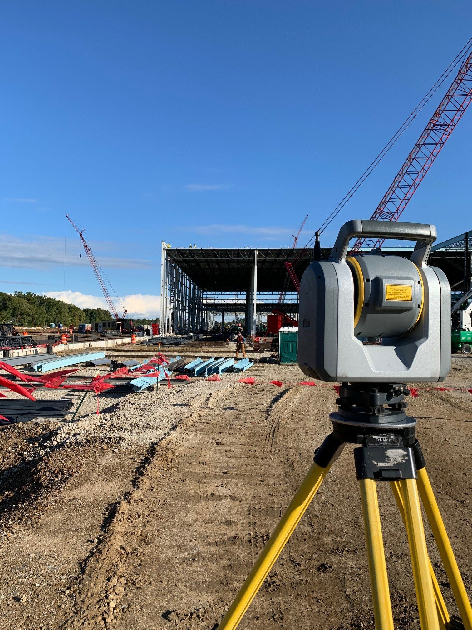
- Reality Capture
- UAV Aerial Mapping (LiDAR/Photogrammetry)
- 3D Laser Scanning
- BIM (Building Information Modeling)
- Geographic Information Systems (GIS)
- Real-time Remote Construction Monitoring
- Hydro Mapping including Water Shed, Streams, Dam, Wetland, Elevation Certificates
- 3D Laser Scanning for Buildings, Roof, ROW, Pavement
- Construction Layout Staking / Record Drawings / Certifications / Horizontal & Vertical Control
- Platting / Condominium Documents Exhibit B Drawings / Easements / Lot Split or Combination
- Environmental Surveys including Monitoring Wells, Wetland, Tree, Water Course, Flood Plain
- Structural Monitoring for Bridges, Retaining Walls, Slope Stabilization